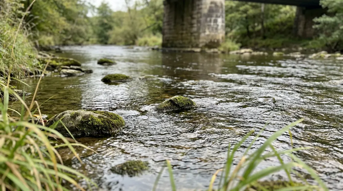
USGS GAUGE READINGSRiver levels begin
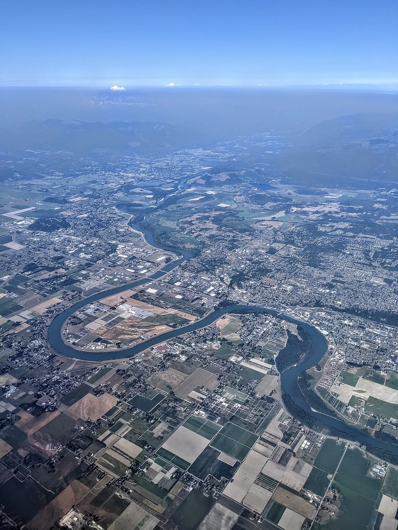
Aerial view of the Skagit River at Mount Vernon, Washington · 2021-07-13 17:09:26. Dicklyon · CC BY-SA 4.0 · resized; display crop.
River levels begin
with a station.
A river changes along its course. Choose a named USGS gauge to see its latest measured stage and exact observation time.
Source snapshot availableFind a gauge by river, town or station.
Popular places
riverSusquehanna Riverat Marietta · Pennsylvania · USGS 01576000riverSkagit Rivernear Mount Vernon · Washington · USGS 12200500riverSusquehanna Riverat Harrisburg · Pennsylvania · USGS 01570500riverWilson Rivernear Tillamook · Oregon · USGS 14301500riverOhio Riverat Cincinnati · Ohio · USGS 03255000GAUGE SNAPSHOT
5 river stations
Gauge height is local to each station. It is not comparable across rivers or a safety rating.
USGS 01576000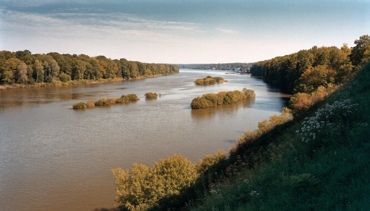
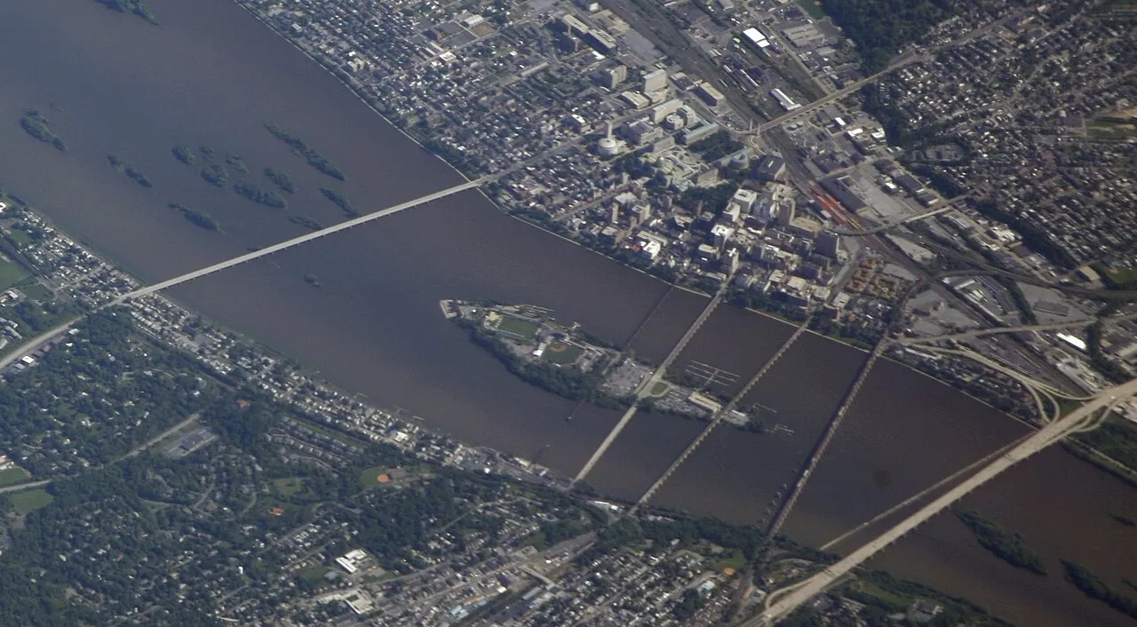
Susquehanna River
at Marietta, Pennsylvania
35.49ft gauge height
Observed Sep 28, 2026, 9:30 PM EDTView gauge details USGS 12200500Skagit River
near Mount Vernon, Washington
10.83ft gauge height
Observed Sep 28, 2026, 6:30 PM PDTView gauge details USGS 01570500Susquehanna River
at Harrisburg, Pennsylvania
4.16ft gauge height
Observed Sep 28, 2026, 9:00 PM EDTView gauge details USGS 14301500Wilson River
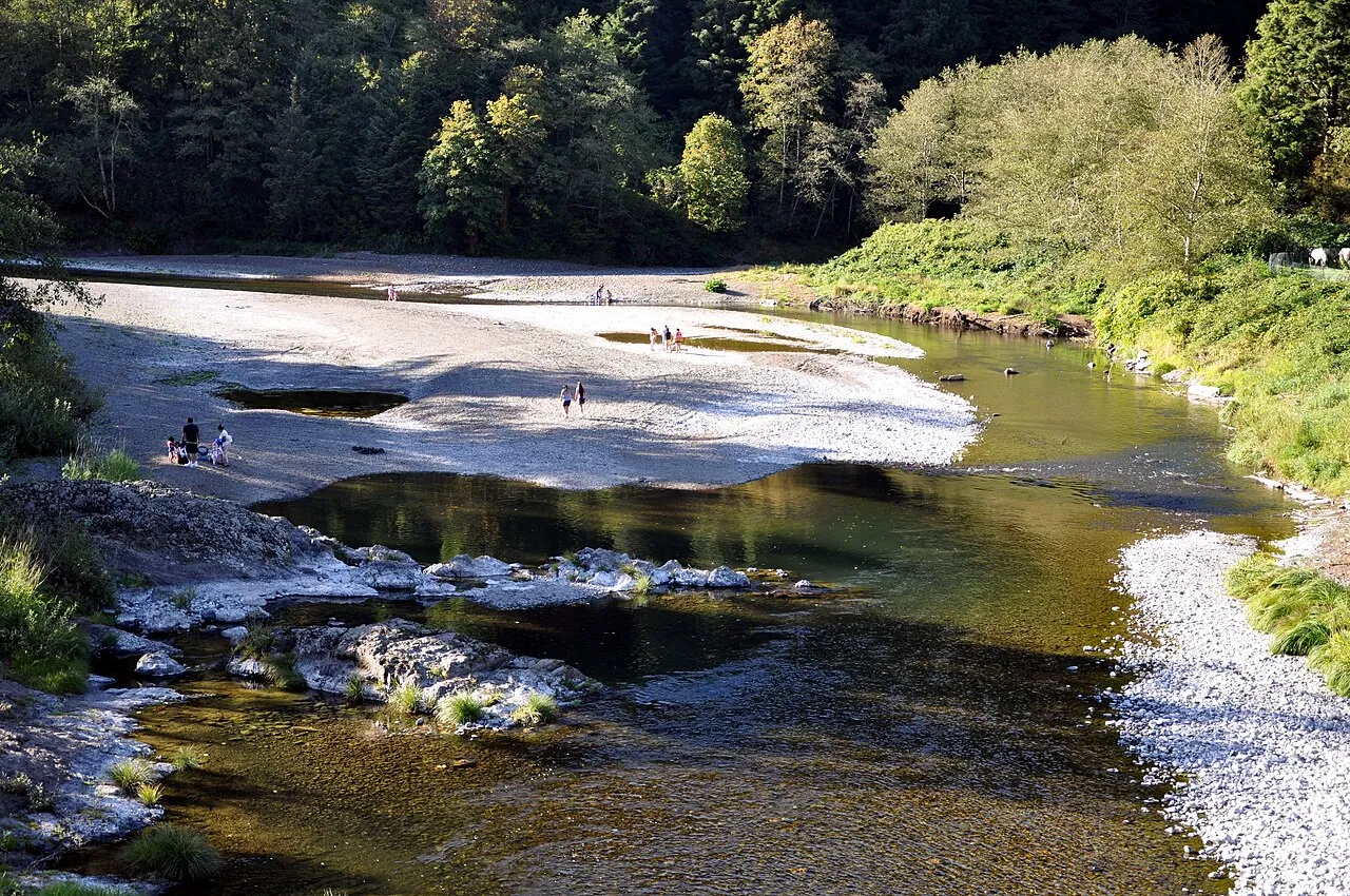
near Tillamook, Oregon
3.64ft gauge height
Observed Sep 28, 2026, 6:30 PM PDTView gauge details USGS 03255000Ohio River
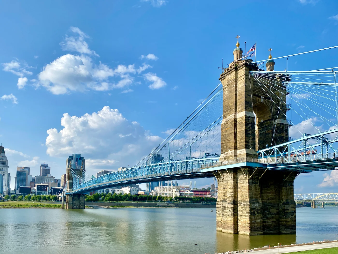
at Cincinnati, Ohio
28.47ft gauge height
Observed Sep 28, 2026, 9:00 PM EDTView gauge details READING A RIVER GAUGE
One number, one exact location.
USGS gauge height measures water surface relative to a local gauge datum, not feet above sea level. A stage of 10 feet at one station is not equivalent to 10 feet at another. For flood forecasts and warnings, check the National Weather Service and local authorities.