USGS 03255000 measures the Ohio River at Cincinnati, Ohio. Its gage height is relative to the local station datum; it is not river depth, a citywide flood stage, or a safety assessment. For flood forecasts and warnings, consult the National Weather Service and local authorities.
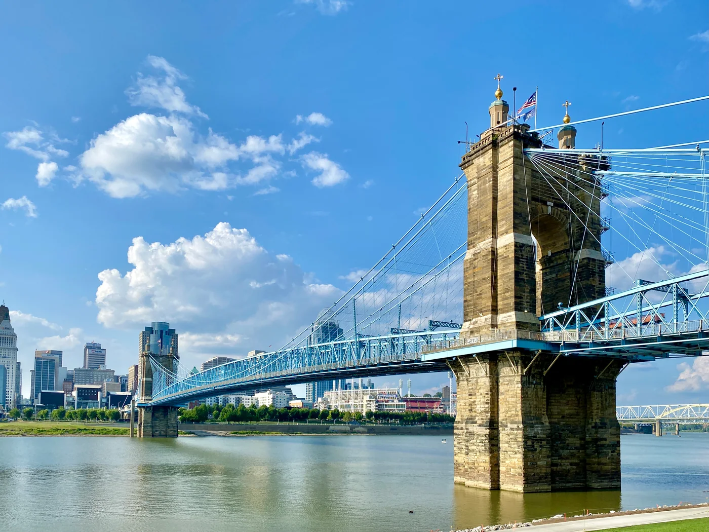
The Roebling Suspension Bridge crossing the Ohio River with Cincinnati buildings beyond. · 2021-08-05. w_lemay · CC BY-SA 2.0 · resized; display crop.
LATEST GAUGE HEIGHT28.47 feet
USGS provisional observation · station 03255000
WHAT IT MEANS
Stage is the water height relative to this station’s local gauge datum. It is not the elevation above sea level and not a river-wide depth.
RECENT CONDITIONS
Daily mean stage
Feet at this gauge
Aug 20, 2026Sep 27, 2026
Daily mean change through 2026-09-27: 7 days +3.01 ft · 30 days +4.33 ft.
Daily mean values, when USGS supplies them, are separate from the latest instantaneous reading above.
SOURCE & LIMITATIONS
Provisional water data can change.
USGS continuous readings can be revised. This page provides a dated snapshot of parameter 00065 (gage height). It does not apply a flood-stage label, predict future levels, or determine whether a route or property is safe.