Lake levels,
with context.
Daily readings and 30-day trends from the Texas Water Development Board. Select a lake to see the source date, elevation, and conservation storage.
Source snapshot available
Explore 4 Texas lakes
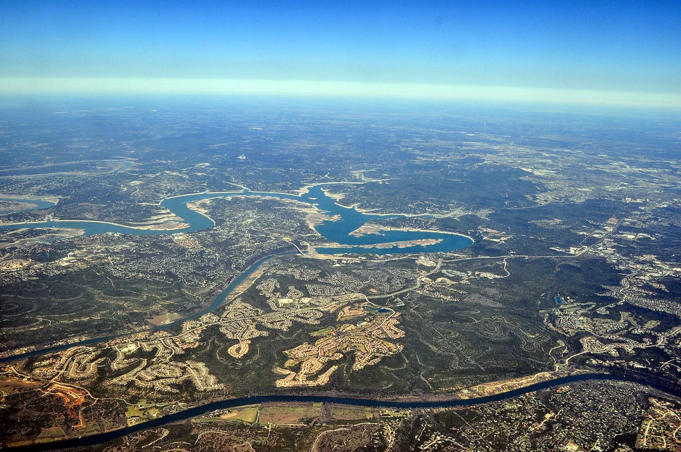
Lake Travis
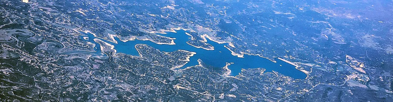
Canyon Lake
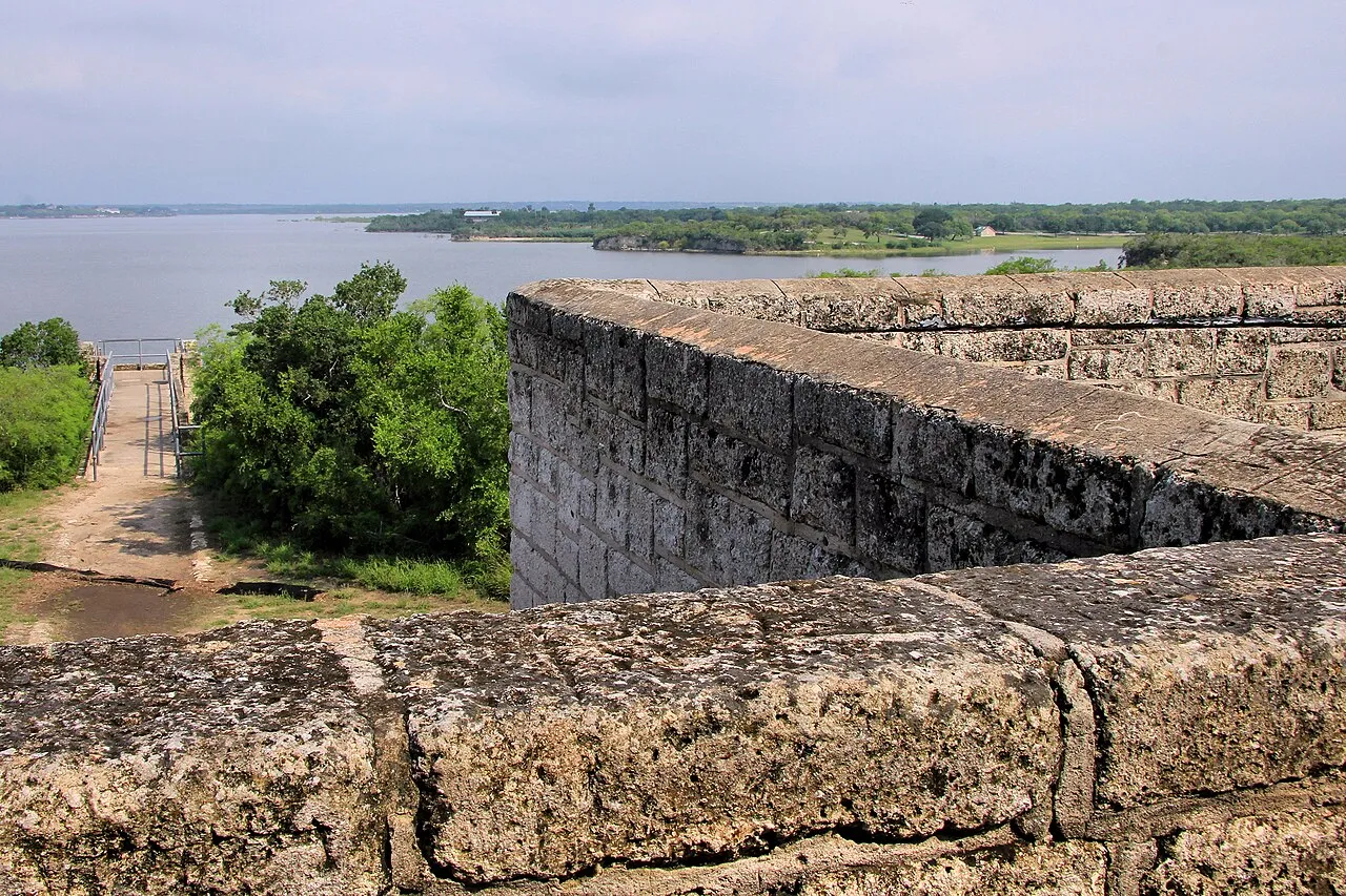
Lake Corpus Christi
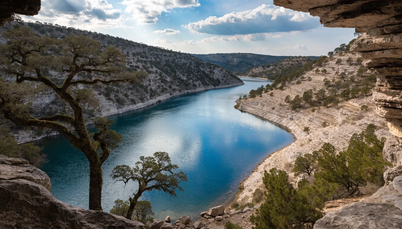
Medina Lake
Elevation and percent full answer different questions.
Elevation is the height of the lake surface in feet. “Percent full” is TWDB’s estimate of conservation storage relative to conservation capacity, not a measure of the entire physical basin. Lakes can exceed 100% during flood storage.
Three more reservoirs to follow.
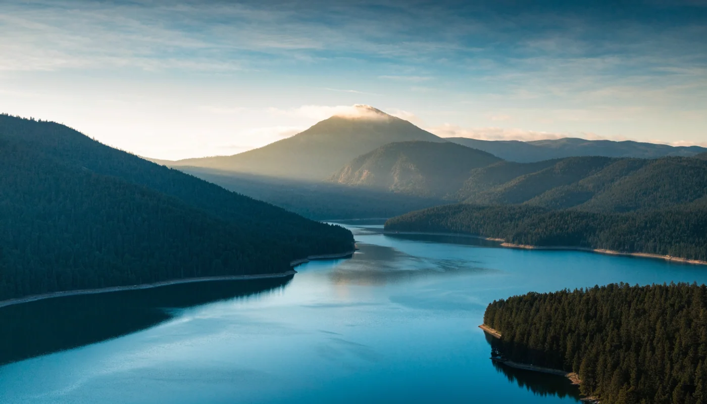
Shasta Lake
982.45 ftDaily elevation · 2026-09-27
CDEC ORO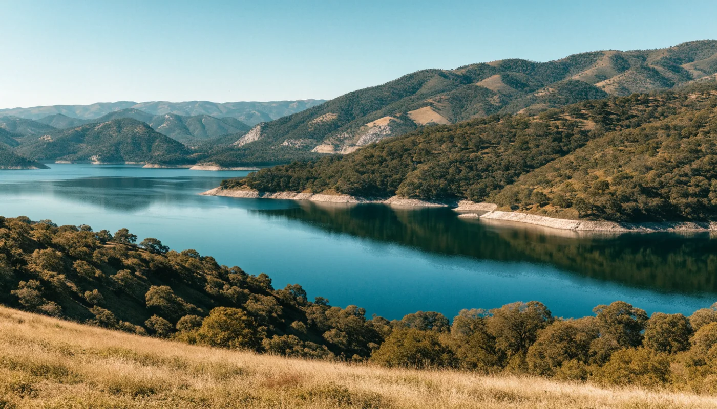
Lake Oroville
757.68 ftDaily elevation · 2026-09-27
CDEC FOL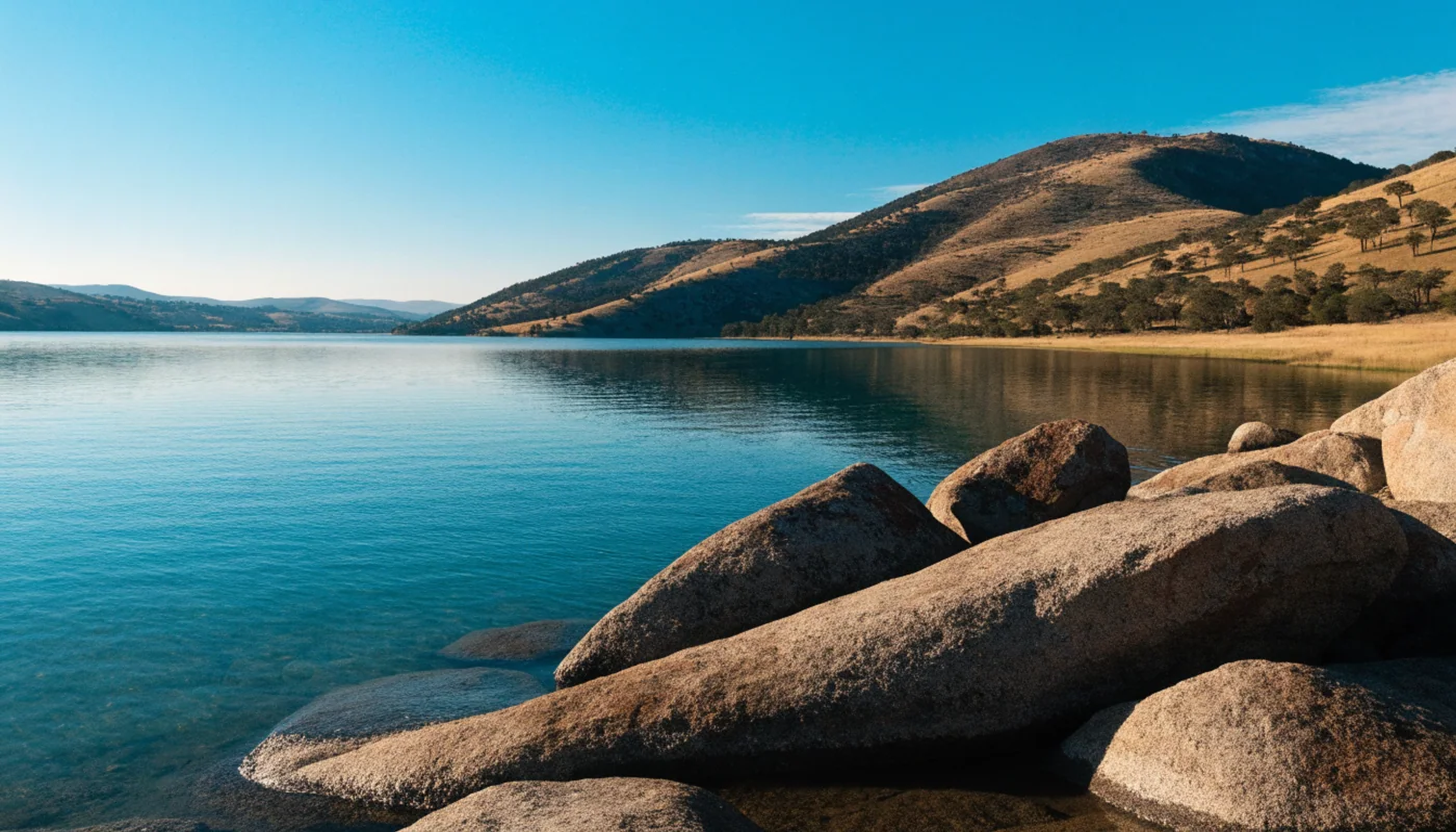
Folsom Lake
407.35 ftDaily elevation · 2026-09-27
California elevations use their CDEC station reference. These are not included in the Texas conservation-storage comparison.
Operator and station readings.
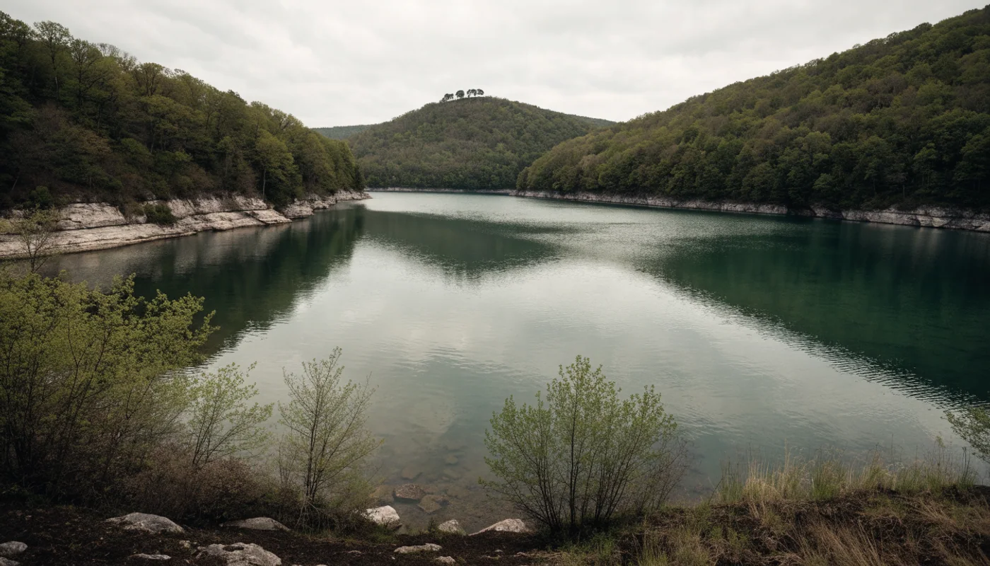
Bull Shoals Lake
654.49 ft2026-09-29T01:00:00.000Z
AEP · Virginia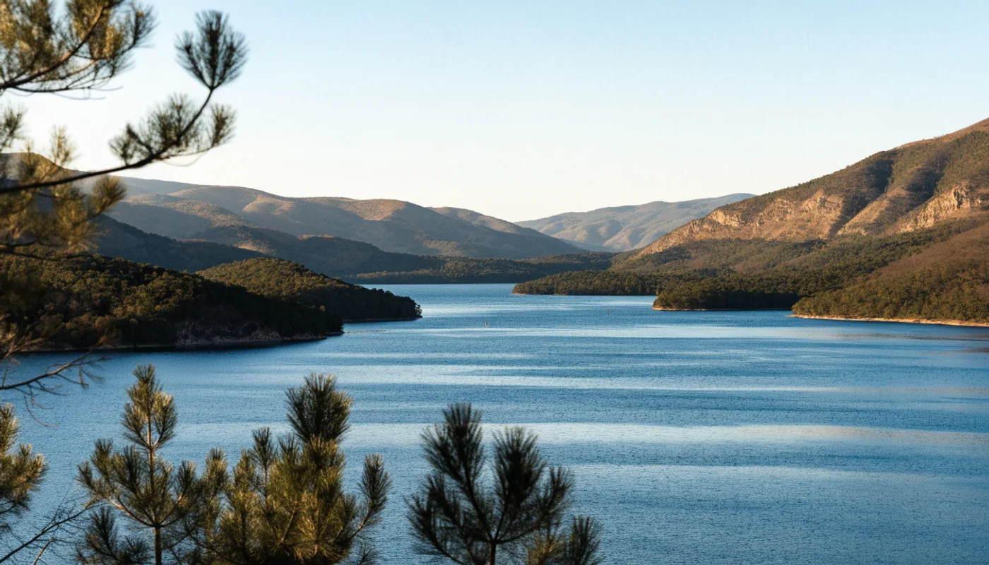
Smith Mountain Lake
789.07 ftSep 28 2026, 9:48 PM EST
USGS · Georgia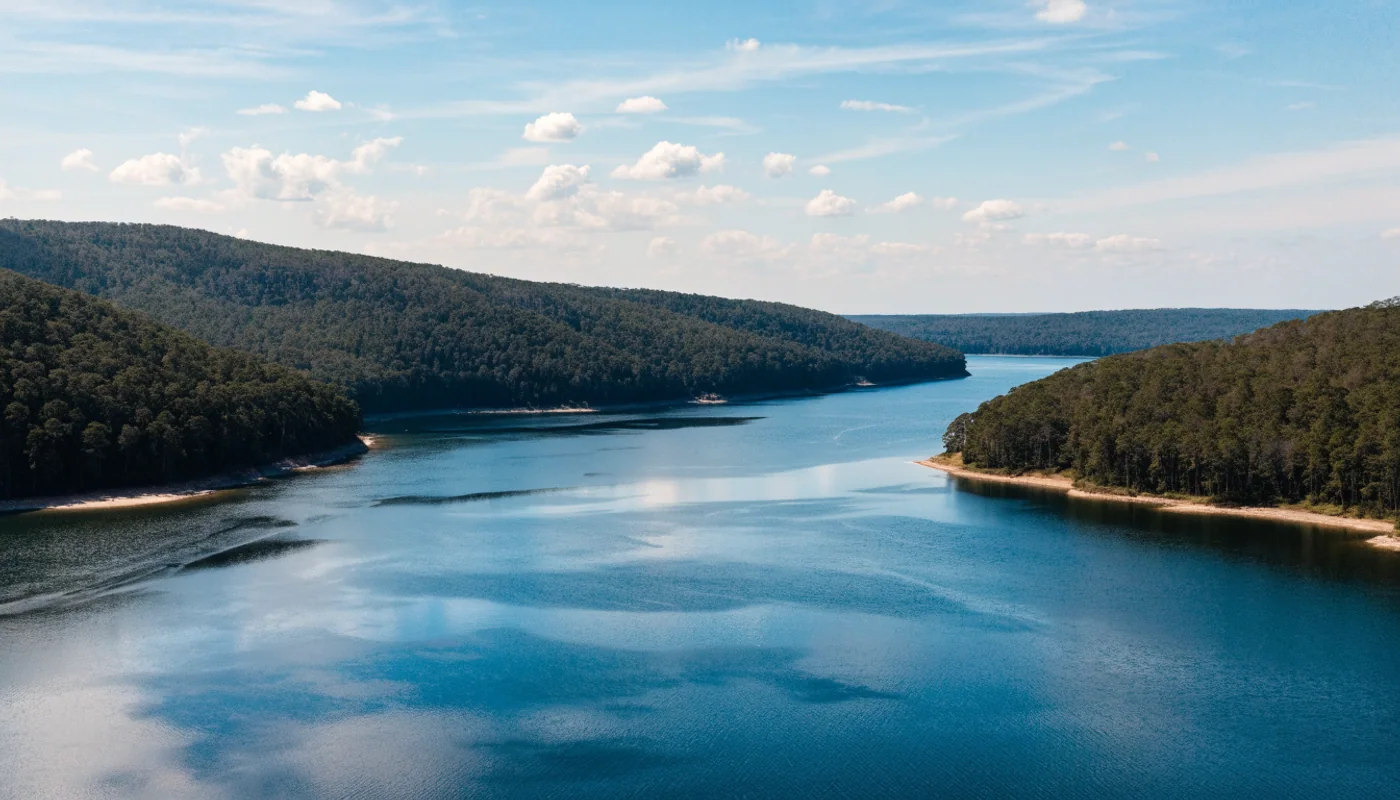
Lake Lanier
1064.23 ft2026-09-29T01:15:00+00:00
USACE · Missouri & Arkansas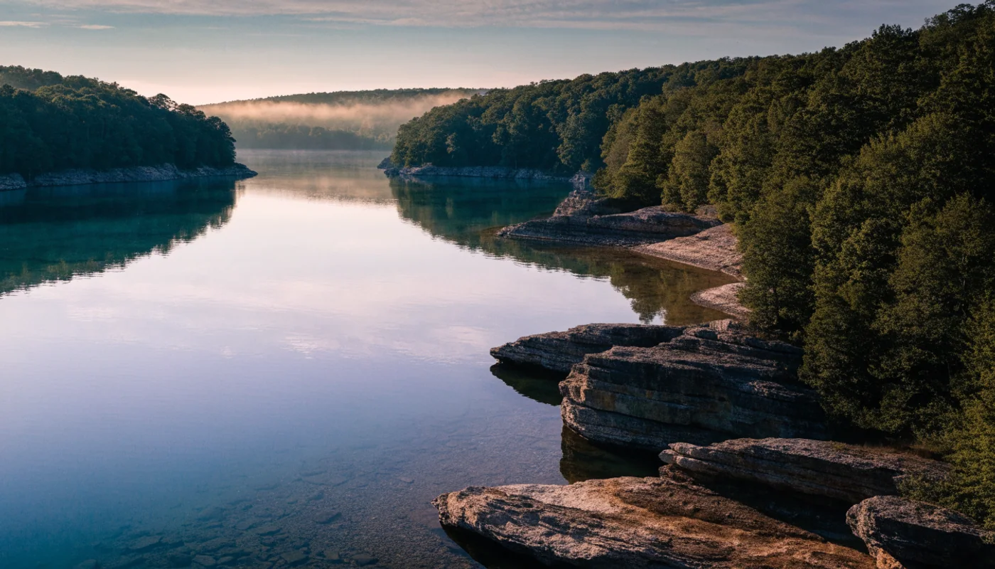
Table Rock Lake
911.66 ft2026-09-29T01:00:00.000Z
Go beyond the number.

How to read a reservoir’s percent full
Storage and elevation answer different questions. Use both to understand a reservoir.
Read the guide
Lake Travis: put today’s reading in context
Follow a dated TWDB reading from the headline number to its 30-day chart.
Read the guide