Public Atlas.
WASHINGTON · USGS 12200500

Skagit River
level near Mount Vernon

This station is near Mount Vernon in Washington. Its reading describes that gauge, not the full Skagit River or every flood-prone location downstream.

OBSERVED ATSep 28, 2026, 6:30 PM PDTSource snapshot availableOpen USGS gauge
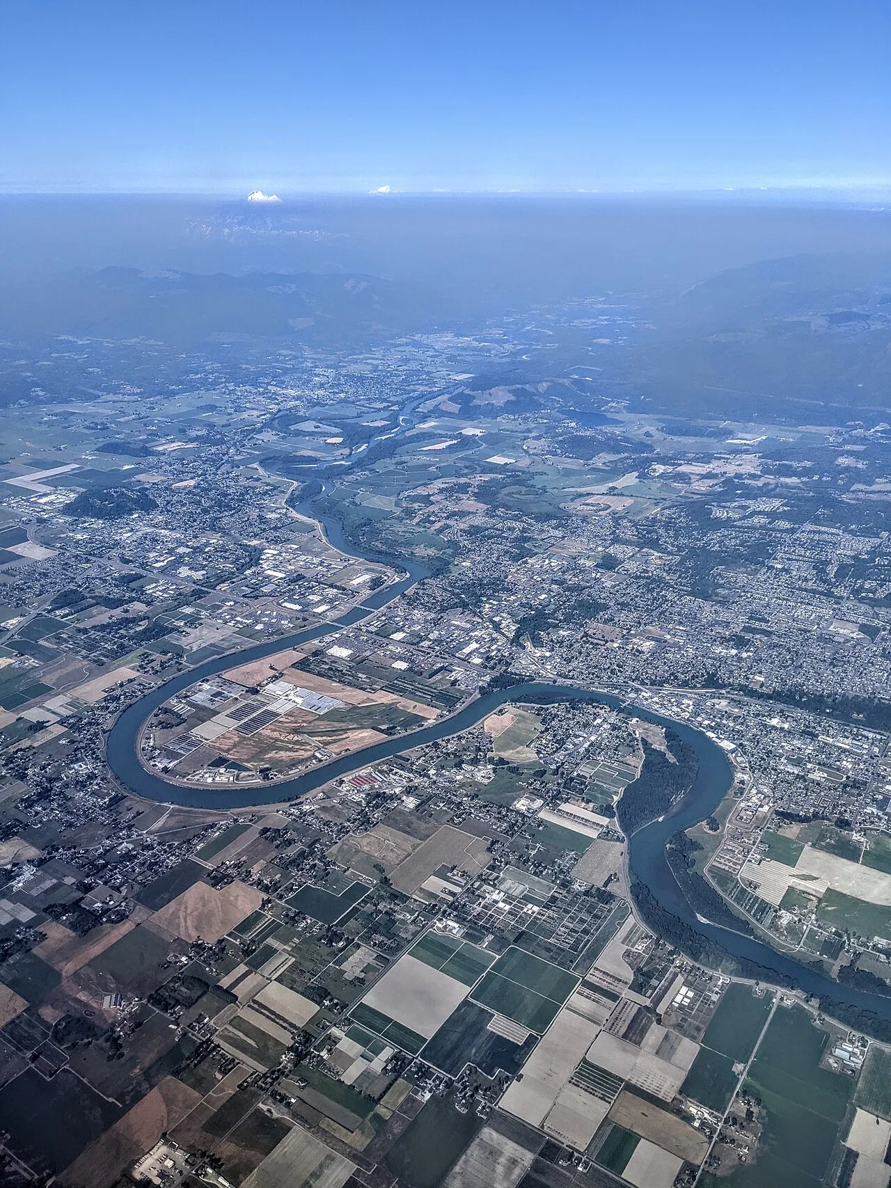
Aerial view of the Skagit River at Mount Vernon, Washington
Aerial view of the Skagit River at Mount Vernon, Washington · 2021-07-13 17:09:26. Dicklyon · CC BY-SA 4.0 · resized; display crop.
LATEST GAUGE HEIGHT10.83 feet

USGS provisional observation · station 12200500

WHAT IT MEANS

Stage is the water height relative to this station’s local gauge datum. It is not the elevation above sea level and not a river-wide depth.

RECENT CONDITIONS

Daily mean stage

Feet at this gauge
Aug 20, 2026Sep 27, 2026

Daily mean change through 2026-09-27: 7 days -0.02 ft · 30 days +0.35 ft.

Daily mean values, when USGS supplies them, are separate from the latest instantaneous reading above.

SOURCE & LIMITATIONS

Provisional water data can change.

USGS continuous readings can be revised. This page provides a dated snapshot of parameter 00065 (gage height). It does not apply a flood-stage label, predict future levels, or determine whether a route or property is safe.

View USGS API record