Public Atlas.
OREGON · USGS 14301500

Wilson River
level near Tillamook

This gauge is on the Wilson River near Tillamook, Oregon. The river can change quickly with rainfall, and downstream tidal influence may differ.

OBSERVED ATSep 28, 2026, 6:30 PM PDTSource snapshot availableOpen USGS gauge
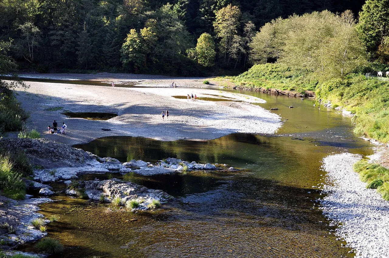
Wilson River upstream of Tillamook, Oregon, in the United States. View is downstream (north) from a bridge carrying State Route 6 over the river.
Wilson River upstream of Tillamook, Oregon, in the United States · 2009-09-21. Finetooth · CC BY-SA 3.0 · resized; display crop.
LATEST GAUGE HEIGHT3.64 feet

USGS provisional observation · station 14301500

WHAT IT MEANS

Stage is the water height relative to this station’s local gauge datum. It is not the elevation above sea level and not a river-wide depth.

RECENT CONDITIONS

Daily mean stage

Feet at this gauge
Daily trend unavailable for this gauge.

USGS publishes a current stage at this station, but the daily mean series needed for this chart was not returned. Follow the source link for its available graphs.

Daily mean values, when USGS supplies them, are separate from the latest instantaneous reading above.

SOURCE & LIMITATIONS

Provisional water data can change.

USGS continuous readings can be revised. This page provides a dated snapshot of parameter 00065 (gage height). It does not apply a flood-stage label, predict future levels, or determine whether a route or property is safe.

View USGS API record