Radon zones
by ZIP area.
Enter a five-digit code to find the counties overlapping its 2020 Census ZIP Code Tabulation Area (ZCTA), then see EPA’s county zone for each match.

EPA says elevated radon has been found in all three zones and every home should be tested. A ZCTA approximates a postal ZIP area and can overlap several counties.
Check the county zones behind a code.
The result may include more than one county. The land-share figure is the county’s portion of the Census area, not the chance that an address falls there.
Predicted average indoor radon level may be above 4 pCi/L.
Predicted average may be between 2 and 4 pCi/L.
Predicted average may be below 2 pCi/L. Testing is still needed.
County zones, not ZIP measurements.
EPA’s radon zone map was designed to guide area planning. We join its county labels to the Census Bureau’s 2020 ZCTA-to-county relationships. Some counties have no unambiguous EPA match, and some mailing ZIP codes have no ZCTA. The tool shows those gaps rather than guessing.
3,096 county equivalents matched; 33,791 ZCTAs available in this snapshot.
Search counties directlyTest the home, then keep the result.
EPA recommends testing every home regardless of zone. Follow the device instructions and EPA’s testing guidance.
EPA recommends fixing a home at 4 pCi/L or higher and considering a fix between 2 and 4 pCi/L.
Record the test date, location within the home, method and result. The county zone stays separate from that measurement.
EPA zone and testing guidance ↗ · EPA Citizen’s Guide to Radon ↗
Go beyond the number.
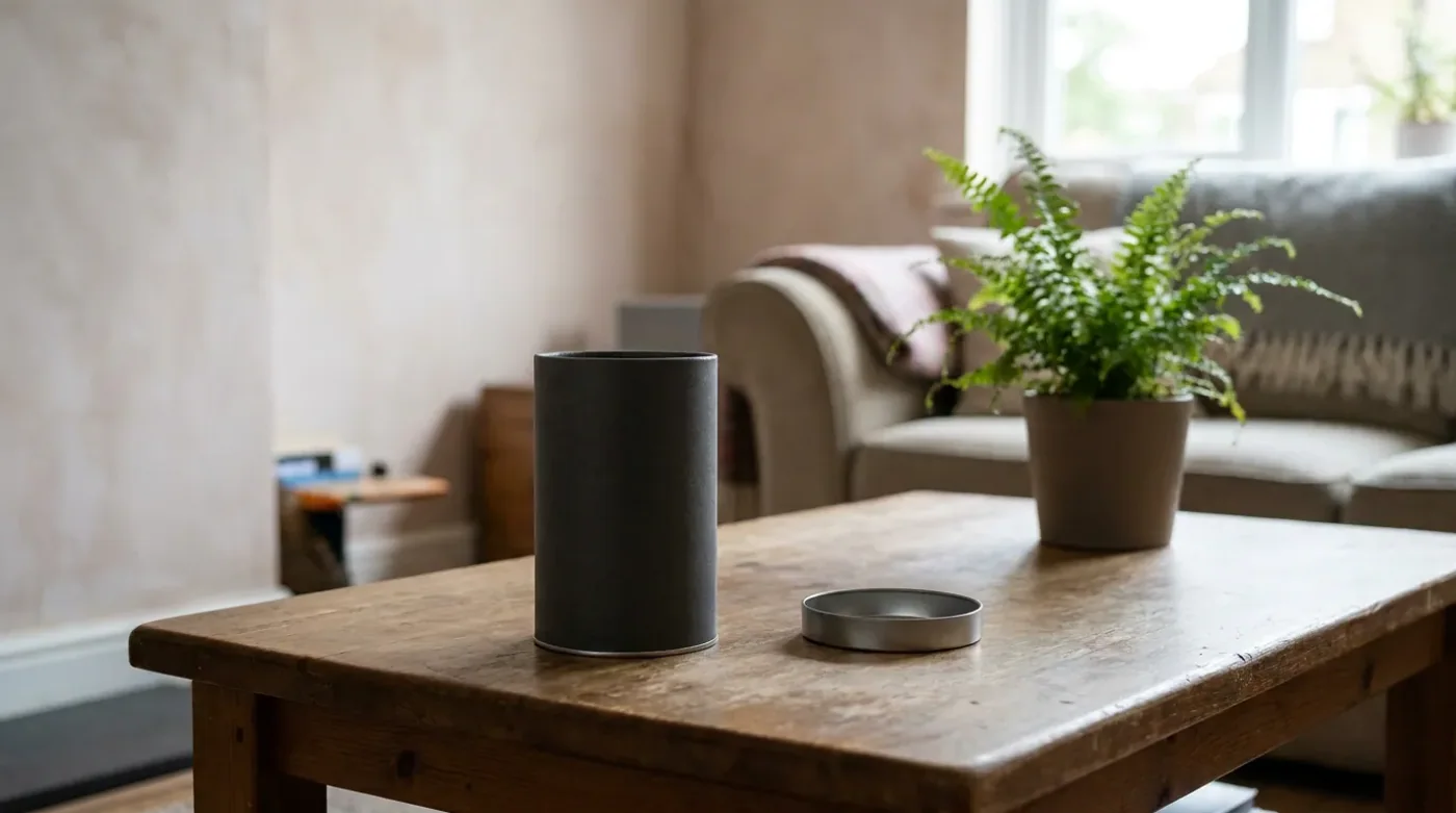
EPA radon zones versus a home test
A county-level potential category cannot measure the air inside a home.
Read the guide
Why a ZIP-area search can return multiple counties
The lookup uses Census geography, with boundaries and relationships that need explanation.
Read the guide